Open Access
How to translate text using browser tools
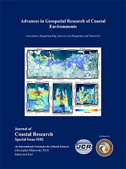
14 December 2020 Mean vertical deformation map in Jakarta coastal area.

Mean vertical deformation map in Jakarta coastal area. The mean vertical deformation map above was generated using Sentinel-1 SAR data images between 2017-2020 using StaMPS algorithm. The mean vertical deformation map was overlaid with the depicted image from natural band combination (B4, B3, B2) of Landsat 8 OLI/TIRS C1 Level-1 taken on September 11, 2019, acquired by USGS.

img-z4-2_01.jpg
©Coastal Education and Research Foundation, Inc. 2020
"Mean vertical deformation map in Jakarta coastal area.," Journal of Coastal Research 102(sp1), i-v, (14 December 2020). https://doi.org/10.2112/1551-5036-102.sp1.i
Published: 14 December 2020
Back to Top